LessWrong (Curated & Popular)
 “How Does A Blind Model See The Earth?” by henry
Aug 12, 2025
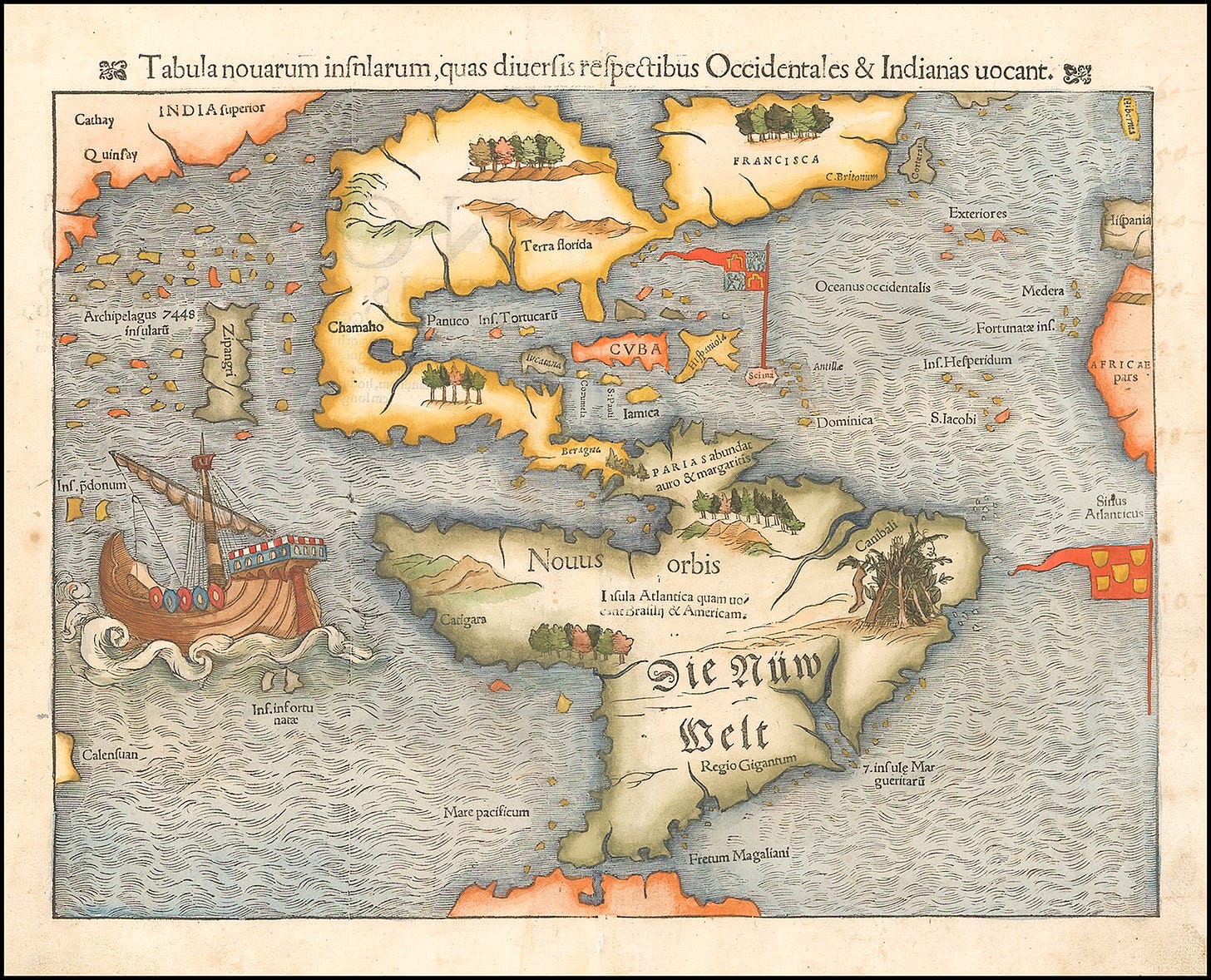
Explore how the perception of Earth's geography intertwines with AI and mapping techniques. Discover the charm of early cartography and its personal interpretations of the world. Delve into land probability maps to understand global distributions and the complexities of model architectures like Coda and QEN3. Highlights include advancements in AI, comparing GPT-4 with predecessors and their impact on geographical predictions. The discussion navigates the technical challenges of achieving accuracy in AI visualizations of land.
AI Snips
Chapters
Transcript
Episode notes
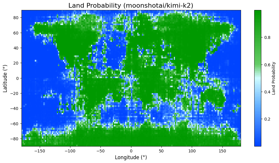
Small Models Produce Bloblike Worlds
- Tiny models often output mostly land or very crude shapes.
- Henry reports QEN2.5 produced "it's all land", and larger models begin to form continent-like shapes.
Smooth Boundaries Signal Generalization
- Models show smooth, blurred continent edges rather than exact memorized coastlines.
- Henry interprets this as generalization, not rote memorization of locations.
Fine-Tuning Can Be Destructive
- Post-training can alter or degrade geographic knowledge, as Henry saw with the Coda variant.
- He warns that instruction or later tuning may destructively change base model representations.